Category Archives: OpenStreetMap
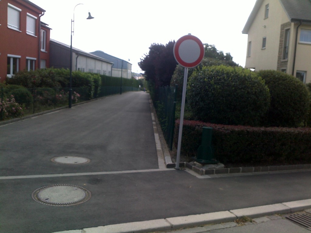
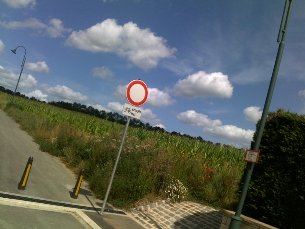
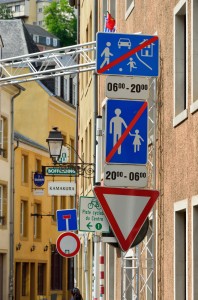
Conflicting signs
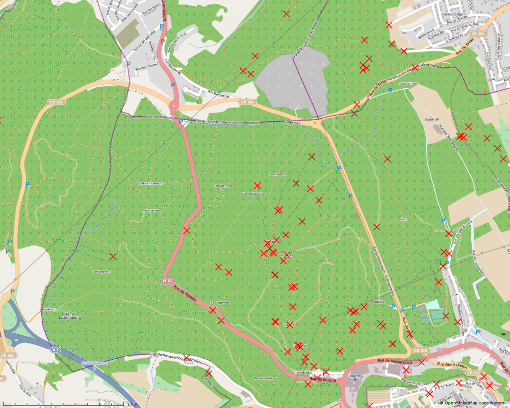
OpenStreetMap survey map
I always take pictures of areas I walk or cycle, which is very helpful for upating OpenStreetMap. Here’s a summary of the current surveys in the forest.
The most concentrated area is probably near Bambësch, a forest located North of Luxembourg City which is almost on my way to work and is worth a detour from spring to autumn a few times a week:
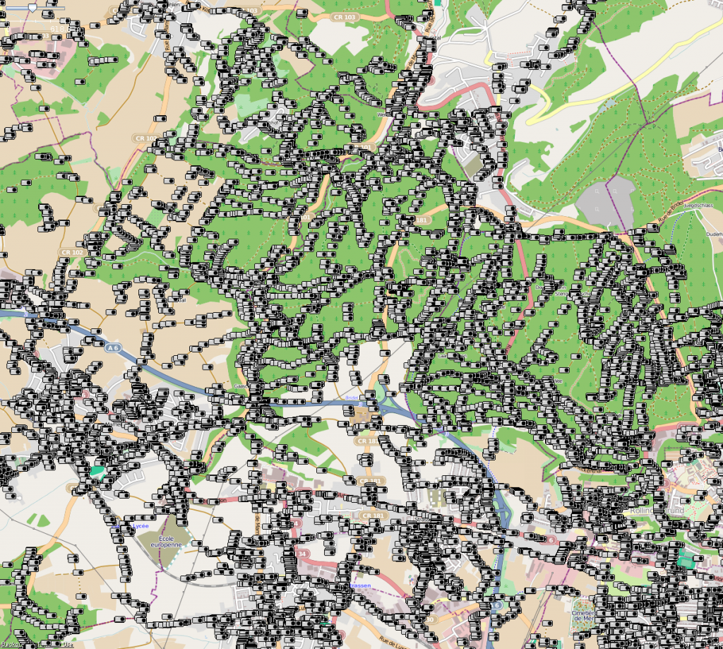
I still have hundred of ways to visit, fix or update in the eastern part of the forest; which will make my detours longer soon.
The good thing is that each time I go out, I have fewer waypoints to check; last year for each waypoint checked, I added five new points. Sometime I forget to remove points from my waypoint list which make me revisit area already visited :). Also, I added some ways and points tagged with fixme or weird values to my to visit-list.
Over the last year, I’ve been walking and cycling thousands of kilometers; I should check my GPS logs to get the real figure.
This last picture shows area I’ve been exploring near Luxembourg City.
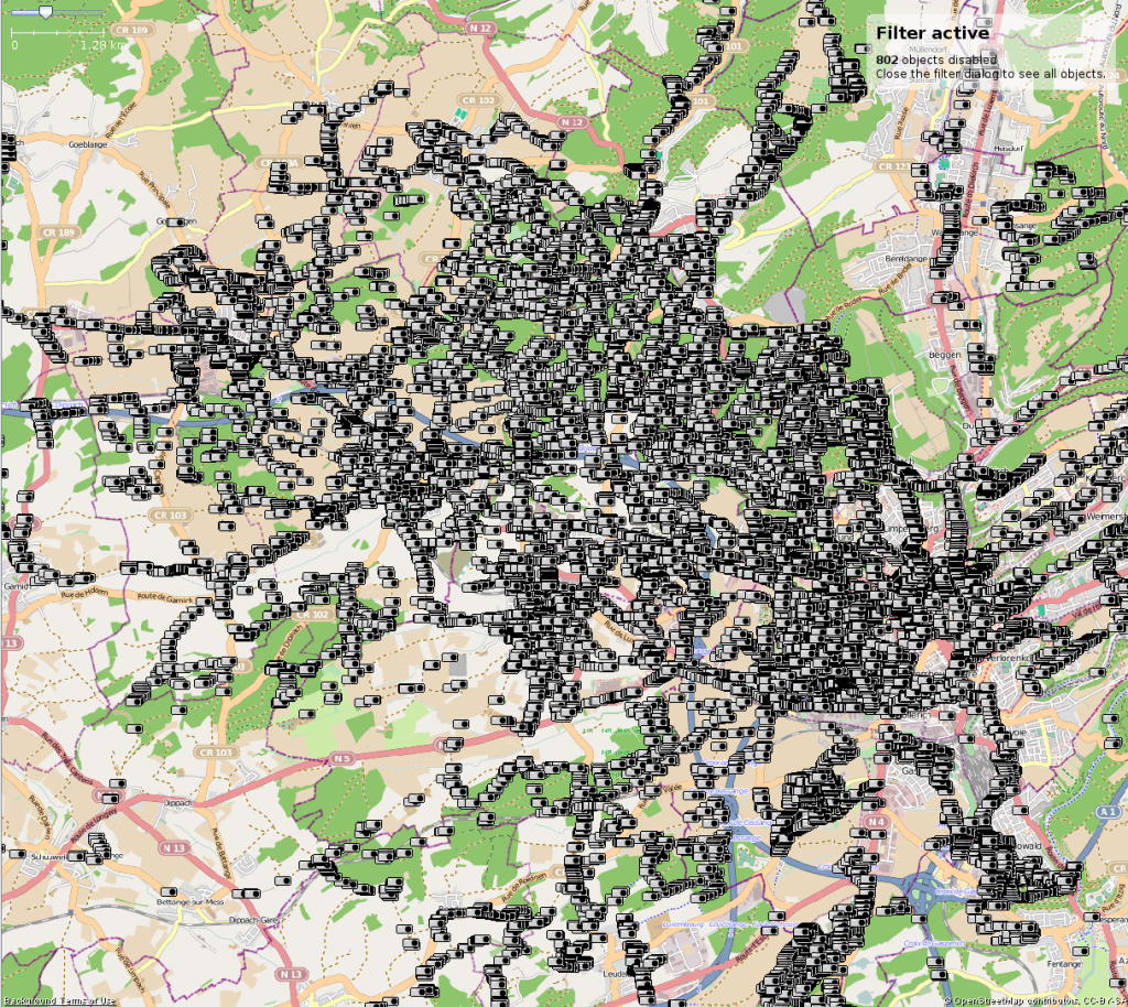
And finally, my OSM Heat Map
OpenStreetMap challenge?
Lost in OpenStreetMap
Timelapse with OpenStreetMap
OK, this is more a test than something else… it may take a long time to open as the video file size is 63 MiB.
You can view the online video with some modern browsers,
and/or download the full size OGG video file (1280×720).
