Tag Archives: photo

GoGoVELO

Short on time for reading? Dive into the pictures instead!

What is GoGoVELO?

GoGoVELO is a cycling campaign initiative brought to you by ProVelo and Climate Alliance Luxembourg, which takes over from MVOS (Mam Vëlo op d’Schaff/Schoul) and Tour du Duerf with the support of the Ministry of Mobility and Public Works. The first campaign ran from September 20 to October 31 under the theme “Around the world in 42 days“, intending to encourage everyone to “use the bike as often as possible as a means of transport in daily life.” To join in, install the “Radbonus II” app and you could win some great prizes! Fun moment: I happened to be visiting ProVelo when they registered the domain name gogovelo.lu.

I didn’t end up winning anything during the challenge, even though I came in at number 2 out of 562 (I’ve heard some buzz that number one is diving into some intensive training to prepare for the famous Race Across America!). Kind of reminds me of The Transcontinental Race where the winner only walks away with a handshake! Still, some friends who cycled a bit less than me and managed to win something surprised me with some lovely gifts 🎁😍.

This week, they shared a heatmap showing where the challengers went cycling, but it seems my traces barely made a mark — looks like I’m the only one who enjoyed playing in the mud over in the Ardennes! 🐷

Media

I put together a media gallery featuring photos and videos from the campaign, along with its map. Just a quick note: the distance shown on the map doesn’t match the statistics below since it includes walks but leaves out tunnels (no GPS signal there). Just click or tap on any picture below to get there.

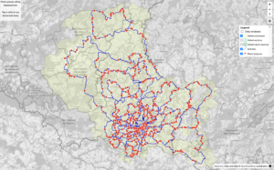
GoGoVëlo map screenshot that shows the photo locations, activity lines and the visited communes.
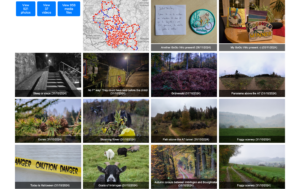
GoGoVëlo gallery screenshot that shows a filter, a mini map and a preview of the photos and video taken.

Statistics

Overall

  • Total distance: 157,353.82 km (≈ 3.93 round-the-world trips)
  • Total calories: 3,933,845.48 kcal (based on 25 kcal/km)
  • CO₂ savings: 22,658.95 kg

My numbers

  • Total bike rides: 57, active days: 42, distance: 3,111.4 km
  • Total calories burned: 72,296.8 kcal (that’s a lot of pizza slices!)
  • Total elevation gain: 37,438 m (≈ 4.2 times Mount Everest)
  • Total commutes: 16 (190 km)
  • Most active day: Sunday with a total distance of 550 km and an elevation gain of 8,112 m
  • Distance and (elevation) by type of rides:
    • Gravel ride: 2,640 km (32,904 m),
    • Generic ride (on fully paved surface): 468 km (4,502 m),
    • E-bike: 3 km (32 m) 😂.
  • Eddington number (learn more about this):
    • Eddington number (miles): I rode at least 32 miles during 32 days,
    • Eddington number (km): I rode at least 39 km during 39 days.
    • The maximum Eddington possible number during this time period is 42 (whether km or miles)
  • Tiles: I visited 910 unique VeloViewer tiles, out of which 49 were new to me.
  • Average heart-rate: 116.9 bpm.
  • Visited countries: 4; number of activities in each:
    • Luxembourg: 57,
    • Belgium: 14,
    • France: 7,
    • Germany: 7.
  • Gear statistics: distance and (elevation):
    • Sequoia (fully equipped gravel bike): 2,334 km (27,277 m),
    • Citrus (light gravel bike): 606 km (8,460 m),
    • WorldTraveller (trekking bike): 169 km (1,669 m),
    • Vel’Oh (city e-bike): 3 km (32 m) 😂.
  • Weather statistics:
    • Temperature:
      • coldest: October 13 (min. 3℃, avg. 9℃), in a ride named “West hook with a few new tiles (⛅🌤️🌬️🥶)” – 168 km
      • warmest:  September 21 (avg. 22℃), in a ride named “Sauer & Oesling wonderland (☀️)” – 69 km, but parts of the ride on October 21 had some warmer temperature peaks (Saar autumn vibes with summer weather! (🌞; 22,000 km ✔️) – 117 km)
      • average: calculating the average temperature really wouldn’t be meaningful since the average of each ride’s temperature isn’t accurate with all the different distances and duration involved—and honestly, I’m just not motivated to extract each second’s temperature from my raw data.
      • maximum:  publishing the maximum temperature wouldn’t make much sense either, as it’s usually just the bike’s temperature when I kick off my ride or when the temperature probe has been sitting in the sun for a while.
  • Riding costs (based on the price of the bikes, the maintenance and replaced parts – excluding accessories, food and drink supplies):
    • Sequoia:  197.07 EUR – method: I spend (at least) 7900 EUR on this bike and travelled 93,564 km on it (≈ 8.4 cents/km)
    • Citrus: 83.48 EUR
    • WorldTraveller: 13.05 EUR
    • Vel’Oh: 5 cents (one day of the yearly subscription cost to the service)
    • Total: 293.65 EUR (or 9.4 cents/km, which doesn’t include food supplies)
      I used StatsHunters which has a Gear section where you can input your bike cost and maintenance fees.
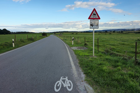
  • Close pass: only one, but located just 200 m after a newly installed sign “minimum 1.5 m lateral distance when overtaking a bike” as displayed on the photo below.
Radbonus II app review

Pros

  • It’s a small company, so when you open a ticket, you’re chatting directly with the engineer, which really helps you appreciate the pressure they’re under when something goes wrong. They shared some fascinating insights with me, like Kalman filters and the challenges of Android development with all that varied hardware.
  • When there was an issue with the app, I could easily share the link to my activity, and they were able to manually import it.

Cons

  • I found the app’s FAQ a bit misleading when it suggests connecting to Google Fit, as that feature isn’t actually implemented. Just as a side note, I noticed that Google Fit only managed to capture about 5% of my Strava activities, so I ended up moving away from it altogether.

  • It can be tricky to remember to start the app alongside the GPS and speed sensor (which is right in front of you) when kicking off a ride—I often recall it after riding for a few kilometres!

  • The Radbonus II app’s internal logging seems to use algorithms that smooth out poor GPS signals, which is why the distance recorded is typically less than what my Garmin shows (averaging about 5 km less each day). The discrepancy in my distance readings decreased a bit since it recorded some walks I forgot to stop, but that didn’t quite close the gap between Radbonus (3054 km) and Garmin (3111 km).

  • While the iPhone app can sync to Health for activity tracking, the Android version doesn’t have that feature. I’ve noticed that the Android logs less distance than the iPhone via Health, which feels a bit unfair for users with a Garmin on an Android phone compared to those using Apple, who can sync their data seamlessly through Apple Health. It would have been great to directly upload a FIT file from a GPS device to the platform, even better for me with a web API call so I could automate the upload when doing the processing of my daily photos.

Room for improvement

It would have been great to have some social events where people could come together to share their experiences and enjoy the scenery, allowing avid participants to connect with one another. Promoting dedicated hashtags on social networks could also have helped build a sense of community. I know that’s easier said than done, especially since ProVelo and Climate Action Luxembourg are small teams, but perhaps companies, public administrations, and local communes could have played a role in initiating the social aspect. Optional small giveaway gifts to promote the action are also a great idea, just like MVOS did.

Mam Vëlo op d’Schaff 2018

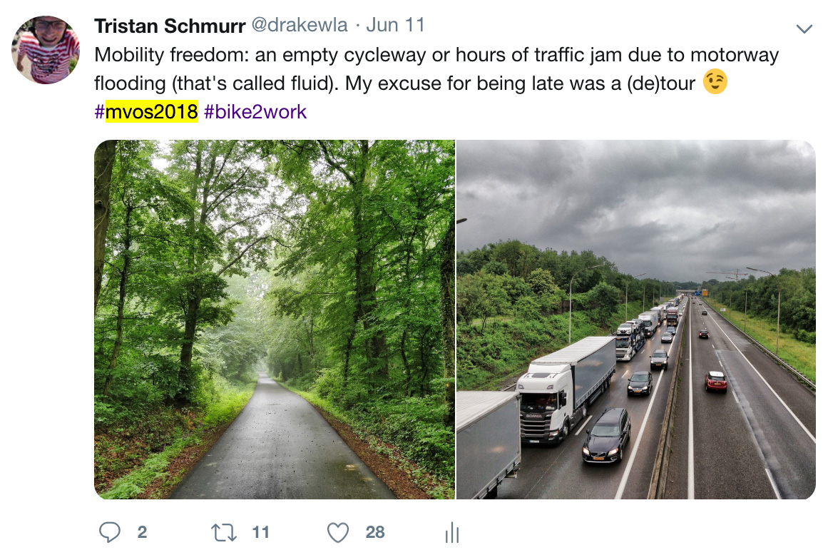
Mam Vëlo op d’Schaff, in short MVOS, is a yearly bike to work (or school) campaign run by the Verkéiersverbond (National Public Transport Community) from May 15 to July 31. They also encourage the participation of members on social networks; this year the hashtag was #mvos2018.

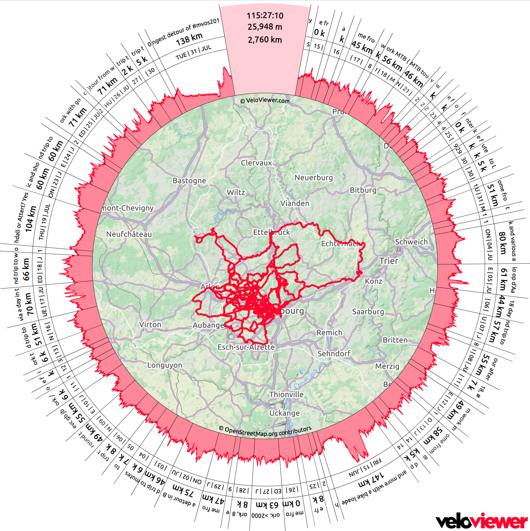
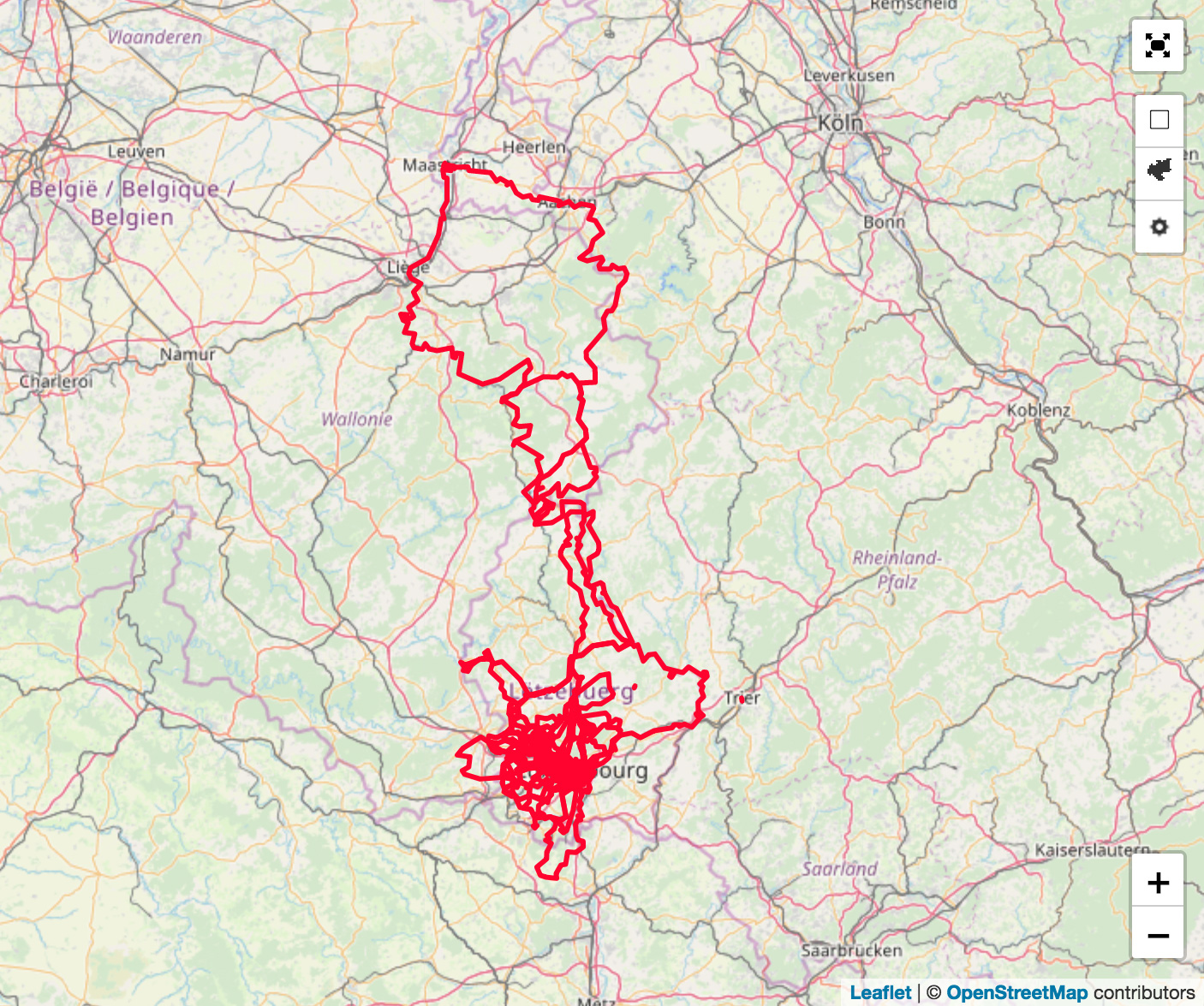
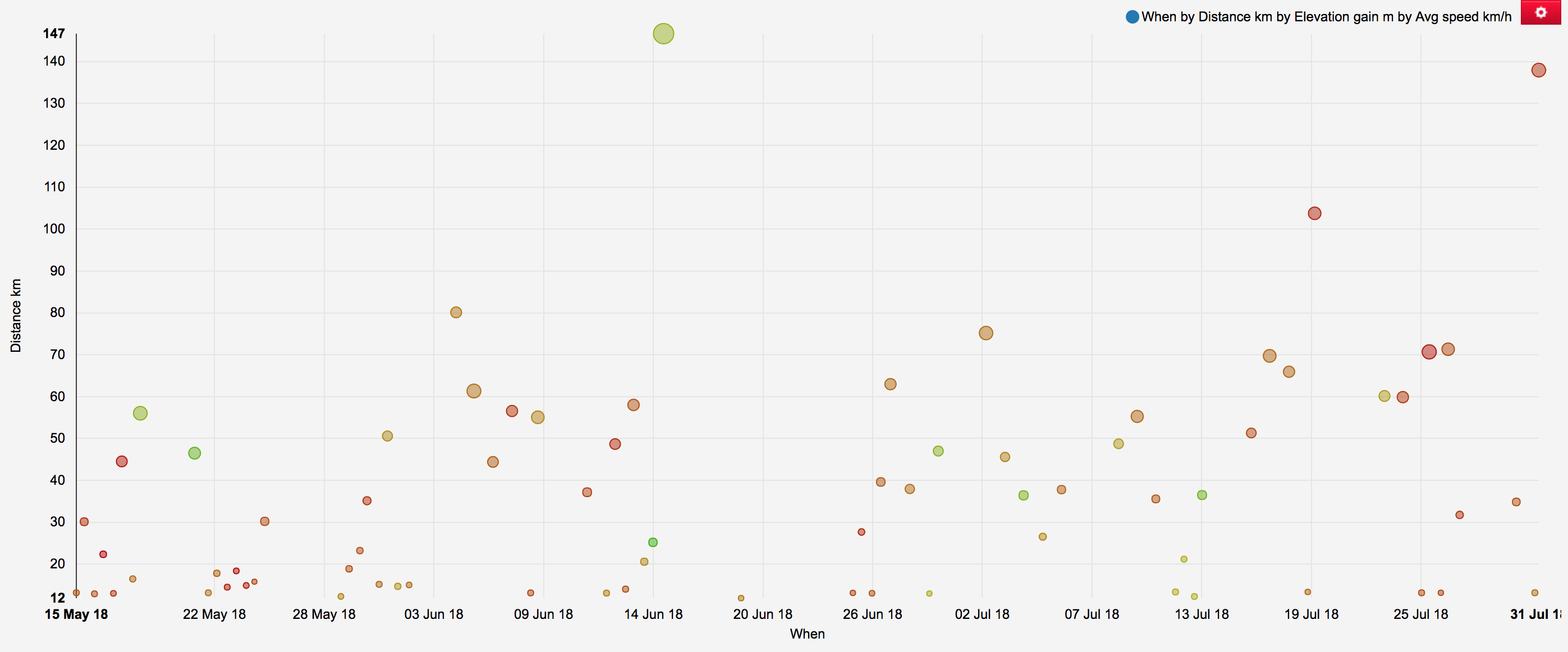
So I decided to make a Map, using the tools from VeloViewer, which does the job much better and faster than me. 

Bike to work map during #mvos2018 operation
Map of all active transportation during #mvos2018 period.
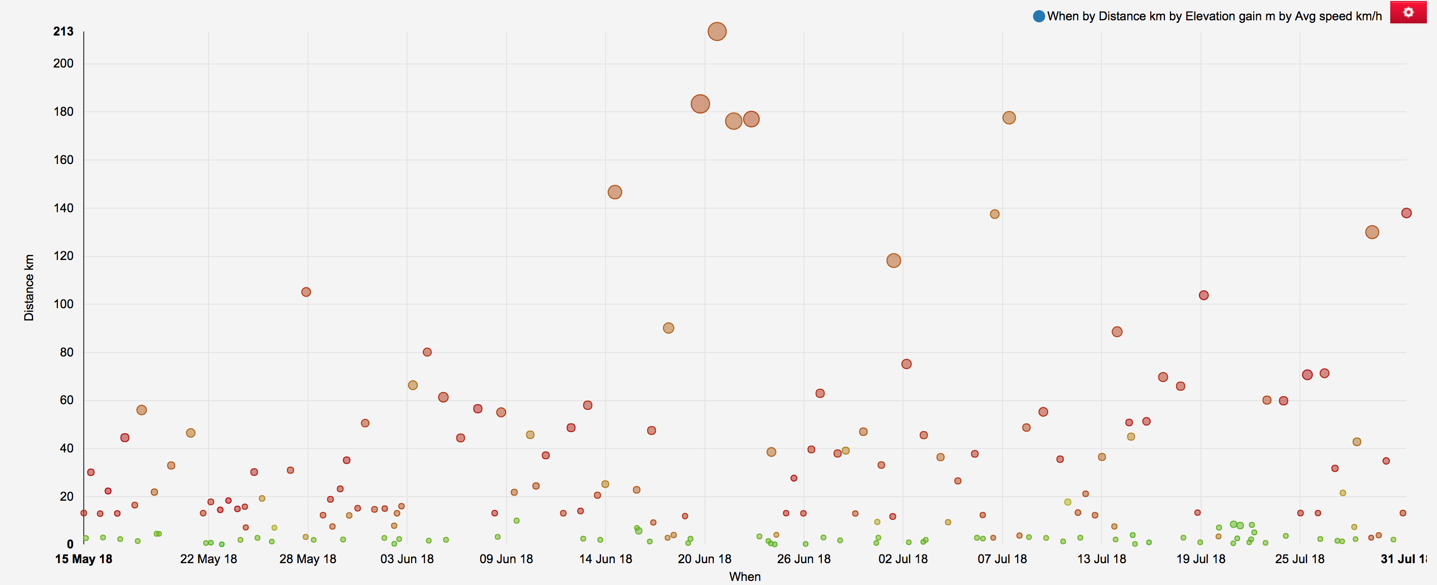
Summary of Bike to Work
Summary of all active transportation activities during #mvos2018 period (size of the point: elevation gain; colour of the point: average speed)

But I have shot several photos and published 225 of them on my Gallery! Below is a small sample of the landscape I shot either on my way to work, or most likely after work. With the long days I was able to do several (de)tours and explore roads and tracks I have never been before.

Château de Koerich
Château de Koerich (May 15, 2018): First MVOS 2018 detour via Koerich. History of the castle available on this photo.
Hopla geiss: a hook to Koerich Castle for the first day of MVOS2018 (day 82 of #mvos365 in 2018)
Piste cyclable de l'Attert near Eischen
Piste cyclable de l’Attert near Eischen (May 17, 2018)
I really love the #PC12Lux part in the forest between Eischen and Steinfort, will try Hovelange soon. 
Tunnel on PC 12
Tunnel on PC 12 (May 18, 2018)
A “short” (de)tour after work via the famous #Hobscheid tunnel on #pc12lux, following some forest exploration. I’d like to play some trumpet or didgeridoo in there
Right time, right place.
Right time, right place. (May 18, 2018): A golden hour scenery that drivers cannot see. Piste cyclable de l’Attert (PC 12, EuroVelo 5), Hovelange.
To be at the right place at the right time, and an invisible scenery to motorists.
Before the shower
Before the shower (May 23, 2018): I tried to avoid the thunderstorm by going south of it; too bad it also moved south.
Guess what happened next?
It's easier to play in the water when already wet
It’s easier to play in the water when already wet (June 1, 2018)
Ready for a swim to work
Marienthal
Marienthal (June 4, 2018): A village of 105 that has a former monastery
Water, air and wires
Water, air and wires (June 4, 2018): Goeblange’s water tower before a thunderstorm. Quiet road between Goeblange and Nospelt.
Managed to avoid the thunderstorm of the day
Cycles of effort and comfort
Cycles of effort and comfort (June 5, 2018): Asphalt track between Lingten and Blaschette.
Graveling to work
Graveling to work (June 6, 2018)
#mvos2018, done. Today I was privileged not only to cycle to work but also to do a business trip by bike.
Belgium/Luxembourg border
Belgium/Luxembourg border (June 7, 2018): Does crossing a border twice make me a cross border commuter?
In Belgium and in Luxembourg simultaneously
Holenfels castle
Holenfels castle (June 8, 2018)
Contradiction: go or no go?
Contradiction: go or no go? (June 8, 2018): “Malheureusement la Police constate trop souvent que les cyclistes ne savent pas toujours précisément ou se trouve leur place allouée”
Piste cyclable de l'Attert between Steinfort and Eischen
Piste cyclable de l’Attert between Steinfort and Eischen (June 12, 2018)
Trees at an angle
Trees at an angle (June 14, 2018)
Dirty feet
Dirty feet (June 14, 2018)
All ways lead to Rome
All ways lead to Rome (June 15, 2018): At Luxembourg/Belgium border in Martelange
Local cycleway between Preizerdaul and Eschette
Local cycleway between Preizerdaul and Eschette (June 15, 2018)
Sunset near Hivange
Sunset near Hivange (June 26, 2018)
Viewpoint near Hivange
Viewpoint near Hivange (June 26, 2018)
Twilight at the end of the tunnel
Twilight at the end of the tunnel (June 29, 2018): Piste cyclable de l’Attert (PC 12, EuroVelo 5), between Eischen and Hovelange.
Road sign
Road sign (July 2, 2018): Cycled in Belgium while the country was watching the football game
When commuting meets Mullerthal Trail
When commuting meets Mullerthal Trail (July 17, 2018)
Let's make it happen!
Let’s make it happen! (July 19, 2018)
Piste cycblable de l'Attert from above
Piste cycblable de l’Attert from above (July 25, 2018): PC 12 between Hovelange and Eischen from above
Moonrise
Moonrise (July 26, 2018)
Let's roll!
Let’s roll! (July 26, 2018)
Sunset
Sunset (July 26, 2018)
New section of PC 5
New section of PC 5 (July 26, 2018)
Château de Larochette
Château de Larochette (July 26, 2018)
Sunflower
Sunflower (July 26, 2018)
Nouveau château d'Ansembourg
Nouveau château d’Ansembourg (July 31, 2018)
In the heat of the day
In the heat of the day (July 31, 2018)
Welcome to Mullerthal
Welcome to Mullerthal (July 31, 2018)
Bergstraße... on the way between Mamer and Luxembourg
Bergstraße… on the way between Mamer and Luxembourg (July 31, 2018)
Connection between PC 4 and PC 3 in Mertert
Connection between PC 4 and PC 3 in Mertert (July 31, 2018)
On my way between #Mamer and @CityLuxembourg#mvos2018 final day; left the flat behind after 100 km.


Distance contraction
Distance contraction (July 31, 2018)

As mentioned earlier, see more on my photo gallery. Also, if you like seeing pictures of places, you can follow me on Strava.

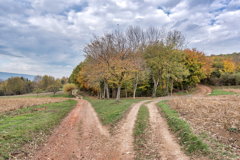
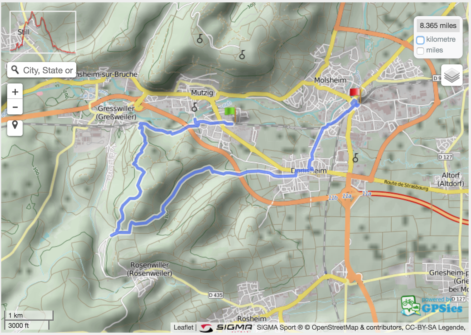
Autumn hike from Mutzig to Molsheim

A touch of summer in November while hiking in the woods and vineyards.
Start: Mutzig train station
End: Molsheim train station
Length: 13.5 km
Track: GPX file or GPSies link.
Photos: photo gallery and photo map.

Hangman
Hangman – it was the week of Halloween. Noticed a lawyer’s name on the letter box next to this.

House
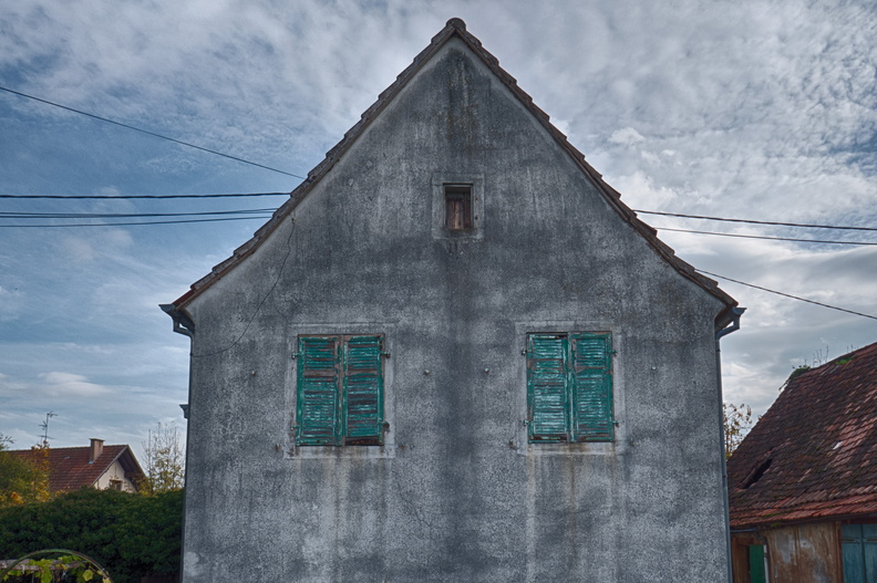
House – an old but still inhabited house in Mutzig

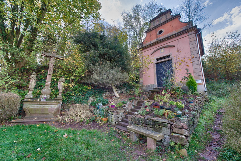
Chapelle Notre-Dame des Sept Douleurs (Heilighiesel)
Chapelle Notre-Dame des Sept Douleurs (Heilighiesel) – unfortunately not a peaceful place as it lies next to a busy road.

(not so wild) life
(not so wild) life – at the second we stepped into their field, they came to us to see what’s going on.

Eating leaves
Goat eating fallen leaves like I would eat a bowl of peanuts.

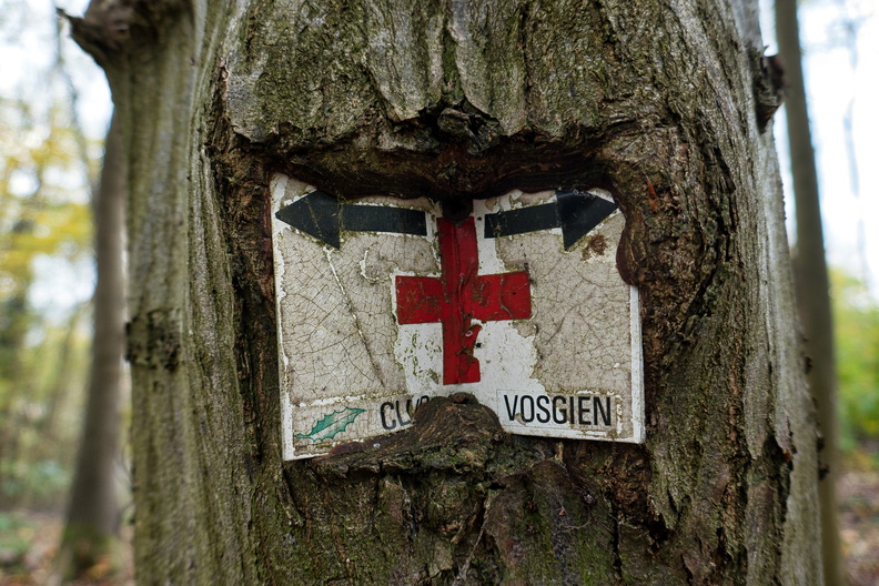
Direction signs
Direction signs – at this stage we left the yellow circle to follow the red symbols.

Steps
Here we starting climbing. It’s a steep but very short climb.

Rocher du Geissfels
Rocher du Geissfels – where this narrow trail took us to

Vegetal revenge
The tree revenge – metal blended by the growing tree

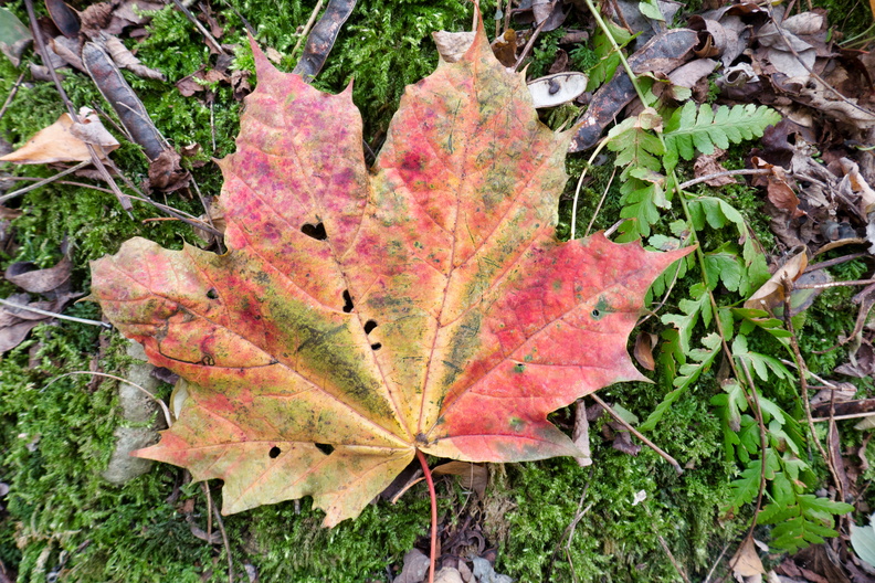
Leaf
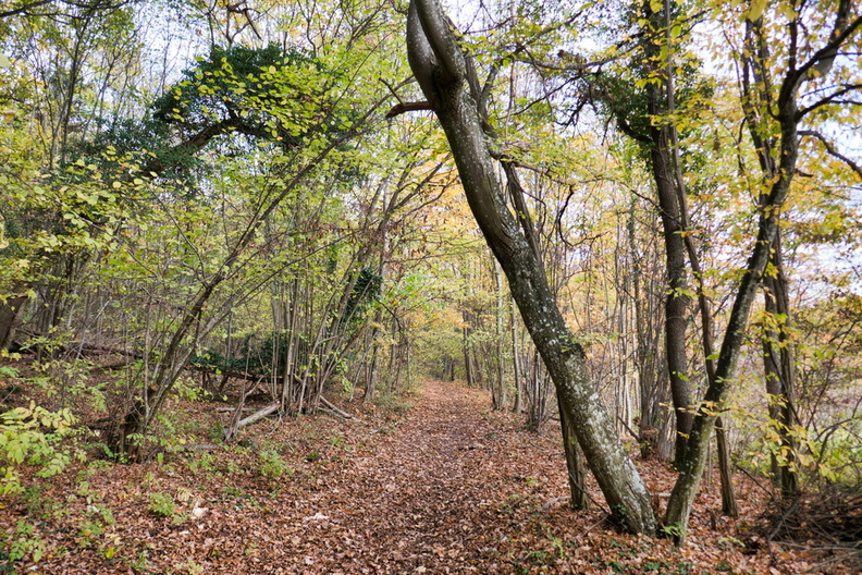
Many leaves from various trees

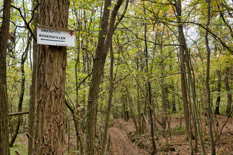
Forest
Changing direction but staying on the marked trail

Forest track
The forest path became a track

Tracks
Where the tracks meet

Misleading directions
This sign is to be rotated 90 degrees counter-clockwise

Panorama
Panorama

Not-so-green salad
Lunch break: a not-so-green salad

The outlook
The outlook

bench
Our picnic bench

Leaving the pass
Leaving the pass

Autumn colours
Autumn colours – back to the forest

Litter
Littering is one thing I do not understand.

Vineyard
Autumn vineyard – all shades of yellow, orange and red

Warm November
Yes, it’s November…

Grapes
Grapes

Grapes
Some old grapes; vendanges tardives?

Grapes
Grapes

Pinot noir
Pinot noir information board

More grapes
More grapes

Vineyards
Closed hut at risk of collapse in the vineyards.

Vineyard
Orange and red vineyard

Enjoying the weather
Enjoying the weather.

Another vineyard
Another vineyard

Plaine d'Alsace
View towards “Plaine d’Alsace” and the Black Forest

Horse
Horse one

Horse
Horse two

Vignoble de Dorlisheim

Old apples
Old apples

Old apple
Old apple

Old apple
Dried apple on an old apple tree

Church
Protestant church in Dorlisheim

Church
Around Dorlisheim church

Eurovelo 5
Cycling directions featuring Eurovelo 5 and Véloroute du Vignoble d’Alsace signs

Bee
Bees are still outside

Hike map:

Visit to Flanders

Caught the train to Bruges, with a stop in Brussels and Ostend.

Panoramic train
Panoramic train

Bruges (Brugge)

Horseman of the Apocalypse
Horseman of the Apocalypse – From the Four Horsemen of the Apocalypse: Death – War – Revolution – Hunger. Pik Poot

Brugge city centre
Brugge city centre

Brugge city centre
Brugge city centre

A waffle Chez Albert

Der Vogelfänger bin ich ja

Chien Assis
Chien Assis

(Not) a courtyard
(Not) a courtyard

Canal

Canal
Canal

Ten Wijngaerde
Ten Wijngaerde

Ten Wijngaerde
Ten Wijngaerde

Flowers at Ten Wijngaerde

Flowers at Ten Wijngaerde

Cycling
Cycling. Node-related signaling is very popular in Flanders

Canal
Canal

Mill
Mill

Mill
Mill

Kabouter
Kabouter

Ostend (Oostende)

Bike parking at Ostend station

Bike paniers in Oostende
Bike paniers in Oostende, Belgium style.

Sint-Petrus-en-Pauluskerk

Rock strangers
Rock strangers – Nationaal Monument voor de Zeelieden in the background

Ostend shoreline
Ostend shoreline

Sandy beach
Sandy beach

Beach huts
Beach huts

Brussels

A brief stopover in Brussels

Grand-Place
Grand-Place

Manneken Pis
Crowds at Manneken Pis

Grand-Place panorama


Hike Dambach-la-Ville

Start/Finish: Dambach-la-Ville train station
Length: ~16 km
Itinerary:

Dambach-la-Ville hike

Photo gallery:

Memorial
Memorial

Fountain
Fountain

Can you find the stork?

EuroVelo 5
Véloroute du Vignoble d’Alsace (part of EuroVelo 5) goes via Dambach-la-Ville

Chapelle Saint-Sébastien

Ossuary
Ossuary: ce que vous êtes nous l’étions et ce que nous sommes vous le deviendrez.

View over Dambach-la-Ville

Bibelefelsen rocks
Bibelefelsen rocks

Château du Bernstein

Château du Bernstein

Sign(ed) poem
Sign(ed) poem

Forest track
Forest track

Ortenberg Castle
Ortenberg Castle; do not confuse with Ortenberg Castle in Schwartzwald.

Scenery
Scenery

Hiking path
Hiking path

Tic tac toe wall
Tic tac toe wall

Coat of arms
Coat of arms